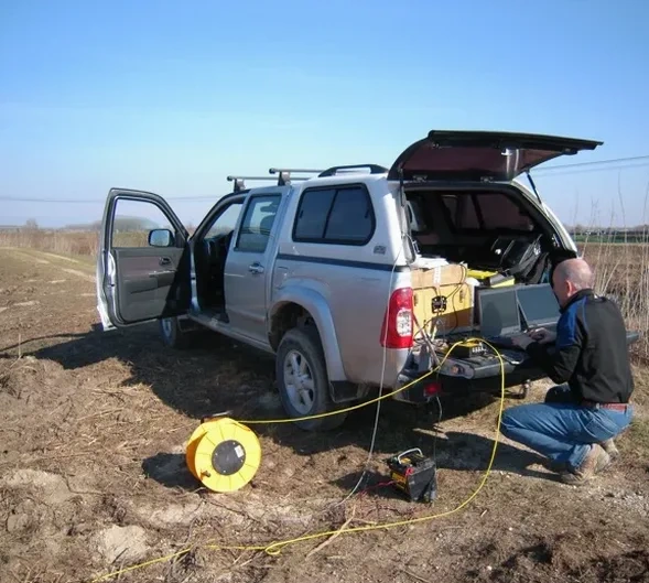
In Savannah, Georgia, geophysics employs a variety of non-invasive subsurface techniques to map geology, locate buried utilities, and evaluate ground stability with minimal excavation. Given the coastal setting where unconsolidated Quaternary sediments, stiff clays, and the deep Southeastern Coastal Plain sequence dominate, these methods are essential for comprehending the interactions between loose alluvial soils and the shallow water table. The field spans electrical methods to seismic surveys, equipping engineers and developers with information to manage risks like sinkholes, differential settlement, and groundwater intrusion—frequent issues in the Lowcountry region.
The local geology is dominated by the surficial aquifer system and the underlying Floridan aquifer, separated by a confining unit of dense clay and marl. The presence of soft, compressible organic soils and potential paleochannels beneath Savannah’s historic and industrial districts necessitates a thorough geophysical assessment before construction. Techniques like electrical resistivity testing are particularly effective here for differentiating between water-saturated sands and the conductive clays of the Miocene-age Hawthorn Group, while identifying the freshwater-saltwater interface that affects deep foundations and coastal infrastructure. The risk of karst features, though less pronounced than in other parts of Georgia, still requires careful evaluation of subsurface voids in the limestone layers that underpin the region at depth.
Any geophysical survey in Savannah must comply with Georgia Environmental Protection Division (GA EPD) and Georgia Soil and Water Conservation Commission standards, especially concerning borehole geophysics and groundwater protection. Additionally, projects follow ASTM International guidelines including ASTM D6431 for electrical resistivity imaging and ASTM D5777 for seismic refraction, which specify equipment calibration, data collection, and reporting. These rules ensure that subsurface investigations using electrical currents or seismic sources are performed safely and produce legally sound data for environmental assessments and geotechnical reports submitted to Chatham County building officials.
This category of services is indispensable for a wide variety of projects in the Savannah area, from the structural design of high-rises along the Savannah River to the rehabilitation of historic landmarks on the sandy bluffs. Infrastructure projects, such as the expansion of the Port of Savannah and the installation of large-diameter wastewater tunnels, rely heavily on seismic tomography surveys to determine rippability and map bedrock topography. Similarly, environmental due diligence for brownfield redevelopments and landfill monitoring employs geophysical methods to delineate contaminant plumes and verify the integrity of containment systems without disturbing the sensitive marshland ecosystems that surround the city.
Frequently asked questions
What is the primary purpose of a geophysical survey for a construction project in Savannah?
The main goal is to non-invasively characterize subsurface conditions to mitigate unexpected ground hazards. In Savannah, this often involves mapping the depth to competent bearing strata, identifying soft organic clays common in the coastal plain, and locating the shallow groundwater table to guide foundation design and dewatering plans before excavation begins.
How do coastal conditions in Savannah influence the choice of geophysical methods?
Method selection is strongly influenced by the high groundwater salinity in tidal marsh areas and the underlying saltwater interface. Conductive soils reduce ground-penetrating radar effectiveness, so techniques like electrical resistivity imaging are favored because they leverage contrasts in electrical properties between fresh groundwater, saltwater intrusion, and the dense, low-resistivity clays of the confining unit.
What are the typical limitations of geophysical surveys in an urban environment like downtown Savannah?
Urban noise from traffic vibrations and electrical interference from buried power lines can degrade seismic and resistivity data quality. Moreover, reinforced concrete, asphalt, and historic burial grounds limit surface access and create cultural noise or 'echoes' in the data, necessitating careful survey design and advanced filtering to isolate the target geological response.
Are geophysical investigations required by local building codes in Chatham County?
Although not always explicitly required for every project, Chatham County building codes and the Georgia Environmental Protection Division often mandate subsurface characterization for stormwater management, foundation design in high-risk areas, and environmental assessments. Geophysics is frequently the specified method to fulfill these requirements when conventional drilling cannot adequately characterize the lateral continuity of subsurface units across a site.
Location and service area
We serve projects in Savannah Georgia and surrounding areas.