Savannah's 1733 Oglethorpe grid plan placed the city atop a bluff overlooking the river, but its expansion into the low-lying marshlands tells a different geotechnical story. The subsurface here transitions sharply from Pleistocene sands to soft, compressible estuarine clays within a few blocks. When a contractor opens a deep excavation near Factors Walk or along Bay Street, the risk of ground movement affecting 19th-century masonry foundations is immediate. We run geotechnical excavation monitoring programs that combine automated inclinometers, settlement points, and piezometers to track ground response in real time. For complex sites, integrating data from CPT soundings helps us calibrate the baseline soil model before shoring installation begins.
In Savannah’s soft clays, excavation monitoring is not an inspection checkbox—it is the feedback loop that prevents a shoring design from becoming a forensic file.
Process and scope
Local ground factors
On job sites in Savannah, Georgia, the most frequent error we observe is when a contractor believes a stiff surface sand layer guarantees predictable excavation behavior at depth. This leads to omitting baseline condition surveys on neighboring structures, installing insufficient monitoring equipment, and subsequently finding diagonal cracks in a historic party wall after the third excavation lift uncovers a pocket of organic silt. Georgia's humid subtropical climate accelerates degradation once cracks appear, and rainwater seeping into the excavation face can reduce the passive resistance behind soldier piles. Our approach mandates pre-construction crack surveys with photographic logs, vibration thresholds customized for each structure's age and condition, and a defined communication protocol with the structural engineer of record. Delaying review of Friday's data until Monday is unacceptable when dewatering pumps run over the weekend.
Reference standards
Applicable standards include IBC 2021 Chapter 33, ASCE 7-22, ASTM D6230-21 for inclinometers, and OSHA 1926 Subpart P.
Other technical services
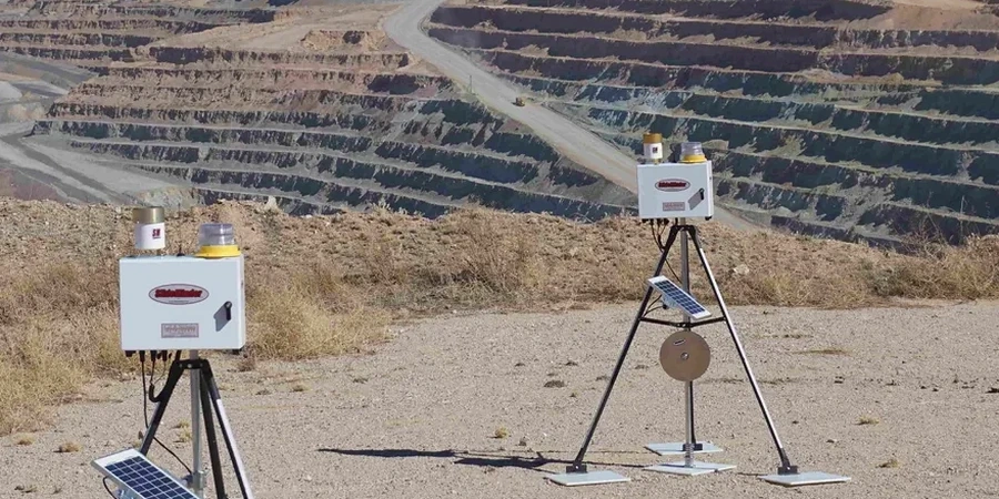
Deep Excavation Instrumentation Package
The system uses inclinometer casings installed behind the shoring wall, optical survey targets on the bracing system, vibrating wire piezometers at two depths, and seismographs on the three closest buildings. Data transmits to a cloud dashboard accessible by the general contractor, owner, and engineer of record.
Adjacent Structure Protection Monitoring
A pre-construction condition survey with 360-degree photo documentation is conducted, along with installation of both manual and automated crack gauges, tiltmeters on load-bearing walls, and vibration monitoring that sends real-time SMS alerts if thresholds are exceeded.
Typical parameters
Frequently asked questions
How much does geotechnical excavation monitoring cost for a project in Savannah?
Monthly costs range from US$960 to US$2,880, depending on instrument cluster count, shoring system complexity, and adjacent structure sensitivity. A basic configuration—one inclinometer, five settlement points, and one vibration monitor on a single building—is at the low end. A comprehensive program covering an entire city block with automated data loggers, multiple piezometers, and daily reporting reaches the upper limit.
When is excavation monitoring required under IBC or local Savannah ordinances?
IBC Section 3304 triggers monitoring when excavation depths exceed 20 feet or when adjacent structures are within half the excavation depth. Additionally, Savannah's Development Services Department requires a vibration and settlement monitoring plan for any work within the Landmark Historic District, regardless of depth.
What types of instruments do you typically install on a Savannah excavation site?
A typical layout includes inclinometer casings grouted in boreholes behind the shoring wall, optical survey prisms on the wall face and adjacent buildings, vibrating wire piezometers to monitor groundwater drawdown, and triaxial geophones for vibration measurement. Crack gauges and tiltmeters are added when protecting unreinforced masonry structures.
How fast do you report an exceedance during monitoring?
Our system issues automated SMS and email alerts within minutes of a threshold breach. The duty engineer reviews the data stream immediately, contacts the superintendent by phone, and provides a written incident note within two hours. Alerts are not batched for a weekly report.