ASCE 7 and the International Building Code require a defensible site class for every new structure. In Savannah, that requirement gets complicated fast. The lowcountry stratigraphy here mixes loose alluvial sands, soft marine clays, and occasional marl layers. Guessing a Site Class D when the profile might be E—or worse, missing a stiff layer that would justify Class C—can inflate foundation costs or leave seismic demands underestimated. An MASW survey resolves this directly. It measures shear wave velocity (Vs) in the upper 30 meters, yielding VS30 without the disturbance and cost of deep borings. Combined with a CPT test in areas where the Pleistocene sands run thick near the Ogeechee, the velocity profile gives structural engineers a defensible basis for design spectral accelerations.
In Savannah's saturated lowcountry soils, an MASW survey replaces guesswork with a measured VS30—often the difference between Foundation Class C and Class E.
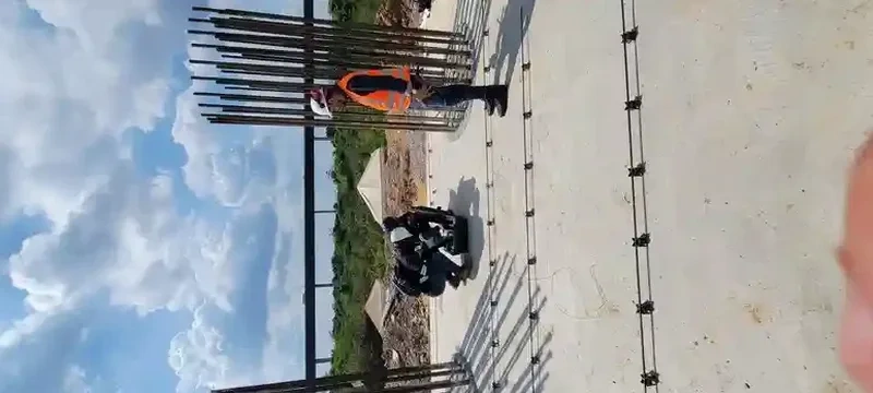
Process and scope
Local ground factors
In Savannah, a common and costly error is using Site Class D as a default in a geotechnical report without performing any direct Vs measurements. For a mid-rise building on Bull Street or a warehouse expansion by the port, this assumption can cause the seismic base shear to increase by 20 to 30 percent compared to a measured Class C, or worse, lead to under-design for a site that should be Class E. One developer discovered this after plan check rejected a design based on assumed SPT N-values, resulting in paying for the MASW survey twice—once for redesign fees and once for the actual fieldwork. Additional dangers include mistaking a soft clay layer for a velocity inversion artifact, a problem that arises when the dispersion curve isn't cross-referenced with boring logs. To prevent this, we employ multiple array lengths and forward modeling to ensure the inverted profile reflects realistic geology. In a city like Savannah, where the Miocene Hawthorn Formation may be encountered at depths ranging from 25 to 80 meters depending on location, field verification is essential to confirm plausibility.
Reference standards
Applicable standards include ASCE 7-22 Minimum Design Loads and Associated Criteria for Buildings, IBC 2024 Chapter 16 and Chapter 18 (covering soils and foundations), ASTM D4428 / D4428M-14 Standard Test Methods for Crosshole Seismic Testing, the NEHRP Recommended Seismic Provisions for site classification, and ASTM D5777-18 Standard Guide for Seismic Refraction and Reflection.
Other technical services
VS30 Site Classification Survey
A single-array MASW survey reaching a depth of 30 meters is performed to determine the site class per IBC/ASCE 7 requirements. The deliverables consist of the dispersion curve, a 1D Vs profile, and a letter report providing the VS30 value along with the NEHRP classification. This setup is ideal for commercial structures, schools, and other buildings that need a plan check submittal.
2D Shear Wave Velocity Cross-Section
When lateral variations in Vs need to be mapped, multiple adjacent MASW arrays or a continuous rolling spread are employed. This method is useful where subsurface geology changes quickly, such as near Savannah's marsh transitions, or for liquefaction studies where changes in velocity boundaries influence the triggering analysis.
Typical parameters
Frequently asked questions
How much does a VS30 MASW survey cost in Savannah?
For a standard single-array MASW survey to a depth of 30 meters in the Savannah area, the typical budget ranges from US$1,430 to US$3,130. The final cost depends on factors like site accessibility, required array length, and whether passive-source data is necessary for greater penetration. We provide a fixed-price estimate before mobilization.
Can MASW replace soil borings for site classification?
MASW directly measures shear wave velocity, which is the parameter used by ASCE 7 to establish site class. It does not, however, substitute for borings needed to describe materials or test strength. The strongest submittals pair MASW-derived VS30 with at least one boring to confirm stratigraphy, especially in Savannah where the depth to the Hawthorn Formation contact can vary significantly.
What site class is typical for downtown Savannah?
There is no one-size-fits-all answer for Savannah, as its subsurface ranges from stiff Pleistocene sands (usually Class C or D) to soft marsh deposits and artificial fill (Class E or F). The only dependable approach is to measure VS30. We have surveyed sites within a half-mile radius where one gave VS30 = 420 m/s (Class C) and another gave 175 m/s (borderline between Class D and E).